Grand Haven Department of Public Safety recently issued the following announcement.
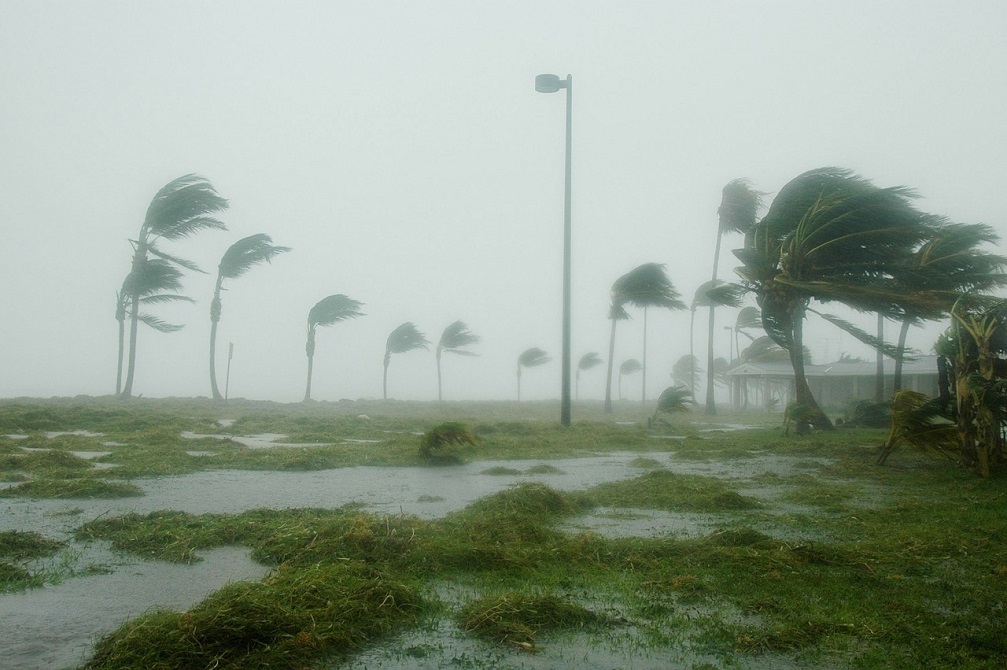
The National Weather Service in Grand Rapids has issued a Hazardous Weather Outlook -A rapidly deepening storm system, passing west of this area early Thursday morning will be damaging wind gusts to the area from around midnight through sunrise. Wind gusts are expected to reach around 65 mph near the lake shore and between 50 and 60 mph inland during that time period. Damaging winds will very likely blow down some trees and power lines, that will in turn cause power outages. Travel will be difficult...especially for high profile vehicles. Also you may want to consider any securing any loose items on our property that you do not want blown into some else's yard.
There may be a squall line coming on shore in the 1 am to 3 am time frame, just ahead of the surface cold front. These storms may not have lighting with them but they will have very gusty winds and likely briefly very heavy rainfall. The high winds will cause lake shore erosion issues due to the high waves.
Thursday through Tuesday - the damaging high winds will continue into the mid afternoon on Thursday. This will also keep lake shore erosion issue going for the same time period.
Original source can be found here.

 Alerts Sign-up